
Council Approval & Regulations
Building a Pool on Flood-Prone Land in Newcastle's Inner-City Creek Catchments
If you live in the eastern inner-city suburbs around Throsby, Styx and Cottage Creeks, you may have heard that your area is part of a flood study. That does not automatically mean your block is flood-prone. The difference matters when you're thinking about a pool on flood-prone land in Newcastle, or on land where you aren't yet sure of its status.
City of Newcastle adopted the Throsby, Styx and Cottage Creek flood study in December 2023. It replaced the earlier 2008 study and its mapping, and it covers the eastern inner-city creek catchments.
This guide explains what the study covers and what "flood-prone" means in planning terms. It then looks at what council's flood rules say about swimming pools and how flood status can shape your approval pathway. Finally, it shows you how to check your own lot before pool design begins.
In this guide:
- What do Newcastle's flood rules say about swimming pools?
- The Throsby, Styx and Cottage Creek flood study: what it covers
- In the study area doesn't mean flood-prone: how council decides
- What council's flood controls mean for where and how a pool is built
- How flood status can shape your approval pathway
- Check your lot's flood status before pool design starts
What do Newcastle's flood rules say about swimming pools?
For land affected by the Throsby, Cottage or Styx creek catchments, council's flood controls include specific points about swimming pools:
- Where the controls apply: land that is flood-prone from these catchments, meaning land partially or fully within the probable maximum flood (PMF) extent.
- The planning flood: the 1% 2050 AEP flood, with a freeboard that is generally 500mm.
- Pool siting: swimming pools must be sited so that minor flooding events don't inundate them.
- Electrical fixtures: electrical connections and fixtures around pools are to be sited at the flood planning level.
- Approval pathway: complying development can be carried out on flood-prone lots, subject to Housing Code clause 3.5.
The Throsby, Styx and Cottage Creek flood study: what it covers
City of Newcastle adopted the Throsby, Styx and Cottage Creek flood study on 12 December 2023. It repeals and replaces the 2008 Throsby, Cottage and CBD flood study and its mapping. If you looked at flood information for your area before late 2023, it may have come from the older study.
Council describes the study area as land east of John Hunter Hospital. It runs from the Hunter River and Newcastle Harbour in the north to the coast, including the CBD and Merewether, and extends west to Kotara and Mayfield West. You can read about how the same flood study applies in Kotara in a separate guide.
Regional media reporting has named Cooks Hill, Georgetown, Hamilton North, Islington, The Junction and Tighes Hill among the suburbs within the study area.
The three creeks at a glance:
- Throsby Creek runs between Islington and Tighes Hill.
- Styx Creek passes Hamilton North near the Chatham Road bridge and joins Throsby Creek at Tighes Hill.
- Cottage Creek has vegetated edges that council's planning controls list as a character element of the Hamilton South 'Garden Suburb' heritage conservation area.
These points show where the creeks sit. They do not tell you whether any particular street or property is flood-prone. The next section explains how council makes that call.
In the study area doesn't mean flood-prone: how council decides
Being inside the Throsby, Styx and Cottage Creek study area does not mean a given property is flood-prone. The study covers a large part of inner Newcastle. Whether flood controls apply to your block depends on your specific lot.
Council applies its flood management controls to properties identified as flood-prone. A property is flood-prone when it sits partially or fully within the probable maximum flood (PMF) extent.
For land covered by this study, council's planning flood is the 1% 2050 AEP flood. The controls also add a freeboard, which is generally 500mm.
Key terms
- Flood-prone land: land partially or fully within the PMF extent. This is the land council's flood controls apply to.
- Planning flood: the 1% 2050 AEP flood, under council's flood management controls for these catchments.
- Freeboard: generally 500mm under these controls.
- Flood planning level: the level council's flood certificate notes refer to when siting electrical connections and fixtures around pools.
These terms come up again in the next section, which looks at what the controls mean for a pool.
What council's flood controls mean for where and how a pool is built
Council's flood management controls in the Newcastle DCP apply to land that is flood-prone from the Throsby, Cottage or Styx creek catchments. These controls, in Section B1(b), name swimming pools directly.
What B1(b) says about pools:
- The controls apply to flood-prone land from the Throsby, Cottage or Styx creek catchments.
- Swimming pools must be sited so that minor flooding events don't inundate them.
- The planning flood is the 1% 2050 AEP flood, with a freeboard that is generally 500mm.
Council's flood certificate notes for the 2023 study area add another pool-specific point. Electrical connections and fixtures around pools are to be sited at the flood planning level.
On a flood-prone lot, these controls feed into two early parts of a project. Where the pool sits on your block is a concrete pool design decision. Levels across the site connect to pool excavation and grading.
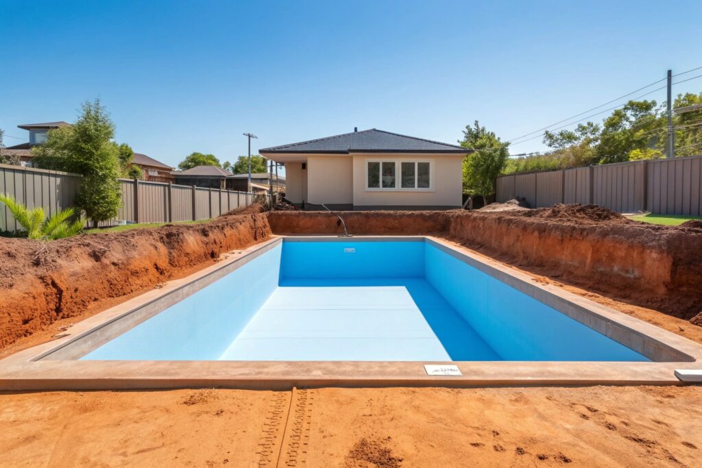
Some low-lying lots may also have acid sulfate soils. These are typically found in low-lying coastal areas under about five metres elevation, and when exposed they can corrode concrete and steel. It's worth checking your lot's acid sulfate soil class along with its flood status.
Flood planning is one of the things we look at as part of concrete pool design.
How flood status can shape your approval pathway
Your lot's flood status is one of several things that can affect which approval pathway may be open for a pool. The NSW Planning Portal says complying development can be carried out on flood-prone lots, which the rules also call flood control lots, subject to Housing Code clause 3.5.
Other lot constraints can matter too. The Planning Portal says complying development generally can't be carried out on land in a heritage conservation area, with some exceptions. It also generally can't be carried out on class 1 or 2 land on council's acid sulfate soils map.

What can affect the complying development pathway
| Lot constraint | Planning Portal position |
|---|---|
| Flood-prone lot | Complying development can be carried out, subject to Housing Code clause 3.5 |
| Heritage conservation area | Complying development generally can't be carried out, with some exceptions |
| Acid sulfate soils class 1 or 2 | Complying development generally can't be carried out |
On some lots, heritage and flood controls may both apply, which can add to the requirements. Parts of Cooks Hill, The Junction and Hamilton East fall within heritage conservation areas. You can read more about heritage and other inner-Newcastle site conditions on our main page.
This is general information, not planning advice. The pathway open to you depends on your specific lot.
Check your lot's flood status before pool design starts
You can't tell whether your lot is flood-prone from your suburb or from the flood study area alone. Property-level flood status is established through a council Flood Information Certificate or the relevant spatial layers.
A Flood Information Certificate is also useful for pool planning. Council's certificate notes for the 2023 study area include the point that electrical connections and fixtures around pools are to be sited at the flood planning level.
While you're checking flood status, look at your lot's acid sulfate soil class and heritage conservation area mapping as well. As covered above, both can affect which approval pathway may be open.
Before your pool design meeting:
- Flood status confirmed for your lot
- Flood planning level known, if your lot is flood-prone
- Heritage conservation area mapping checked
- Acid sulfate soil class checked
Once you know where your lot stands, you'll be ready to talk to a Newcastle concrete pool builder about your block and the pool you have in mind.